With TopMap Sherpa, Polytec introduces a new software generation for its topography measurement systems. Combining an adaptive user interface with intelligent automation features, the software simplifies complex measurement tasks and recurring inspection routines. Users benefit from a more intuitive experience and reach reliable results faster.
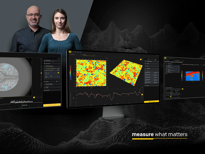 Image Credit: Polytec GmbH
Intuitive Operation From Setup to Analysis
TopMap Sherpa guides users through the entire measurement process. The user interface adapts to the current workflow and displays only the functions relevant to the task at hand. Features such as Click-to-position, Focus Finder, and Auto-Level simplify sample positioning, focusing, and alignment.
“Many of our customers want fast access to reliable measurement results without sacrificing advanced functionality,” says Sebastian Nägele, Product Manager at Polytec. “TopMap Sherpa makes it easier to get started, provides guidance for complex measurement tasks, and still gives experienced users the flexibility and control they need.”
Reliable Data on Challenging Surfaces
For samples with varying reflectivity, TopMap Sherpa combines Smart Scanning Technology with HDR measurements. The software automatically adjusts exposure settings based on real measurement data, helping users capture reliable topography data from challenging surfaces and material combinations.
Predefined filter settings support standardized measurements, while Live Filtering allows users to see the impact of filter adjustments directly in the measurement data.
Streamlined Workflows for Recurring Measurement Tasks
Measurement recipes allow users to save and reuse settings for sample positioning, measurement, and data evaluation. Tray Measurements and Pattern Matching automate the inspection of multiple similar parts, reducing manual effort, particularly in quality assurance applications.